Log in
All resources
Create a design
299 Free Artworks of Ocean Map
maps
bibliothèque nationale de france
engraving
grabados
cartography
chalcography
fondo antiguo
calcografía
cartografía
libros del siglo xvii
cartography
maps
18th-century maps of sri lanka
maps by thomas kitchin
maps by christian sgrothen
cartography
maps
maps from the earth and its inhabitants, vol. xiv
maps of voyages
maps in the library of congress
cartes et plans de l'amerique
17th-century maps of the mediterranean sea
portolan charts made in the 17th century
the bottom of the sea (1870)
maps of the strait of dover
physical geography (1899) by davis
monsoon maps of india
cartography
maps
cartography
maps
cartography
maps
africa
maps
everett d. graff collection of western americana
st. louis, missouri in the 1800s
lucas janszoon waghenaer
1580s maps of spain
maps of the arctic ocean
maps of the north pole
cartography
maps
maps by pieter mortier
maps from gallica
portolan charts by willem and johannes blaeu
1620s maps of the atlantic ocean
maps from the earth and its inhabitants, vol. xii
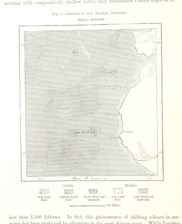
bathymetric maps of the atlantic ocean
maps from the earth and its inhabitants, vol. xii
bathymetric maps of the atlantic ocean
maps from the earth and its inhabitants, vol. xiv
maps of the southern ocean
africa
maps
corona and coronet (1898)
1898 maps of the world
the atlantic islands as resorts of health and pleasure (1878)
1870s maps of the atlantic ocean
maps from the earth and its inhabitants, vol. xiv
bathymetric maps of the southern ocean
andalusia in the 1590s
1590s maps of spain
arnold van langren map of east africa
bibliothèque nationale de france
travel
maps
german renaissance,northern renaissance
maps in the british museum
maps from the earth and its inhabitants, vol. vi
islands of the pacific ocean
cartography
maps
maps from the earth and its inhabitants, vol. iv
1880s maps of the atlantic ocean
travel
maps
arnold van langren map of southwest africa
1596 maps of africa
cartography
maps
cartography
maps
context files from gallica
lucas janszoon waghenaer
context files from gallica
lucas janszoon waghenaer
travel
maps
maps by john cary
1801 maps
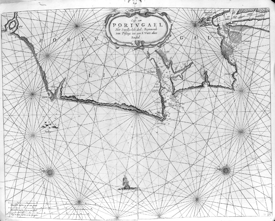
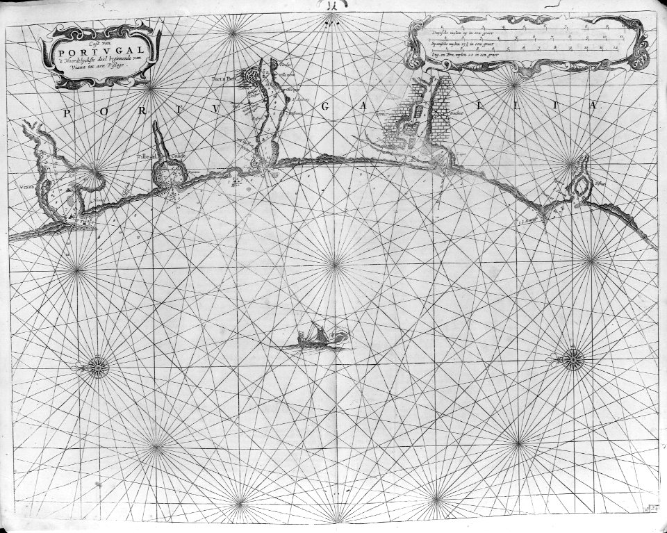
16th-century maps of lisbon
1580s maps of portugal
cartography
maps
cartography
maps
19th-century maps of the indian ocean
physical geography (1899) by davis
19th-century maps of the indian ocean
physical geography (1899) by davis
physical geography (1899) by davis
maps of ocean currents
1780s maps of the americas
1786 maps
arnold van langren map of southwest africa
renaissance
maps by john cary
1799 maps
africa
maps
maps in "the danish ingolf-expedition"
crustacea malacostraca (1908)
1740s maps of the world
maps by emanuel bowen
cartography
maps
cartography
maps
description de l'universe
old maps of valletta
cartography
maps
maps of hormuz by braun & hogenberg
hebrew university of jerusalem
a class-book of modern geography (1898)
19th-century maps of the pacific ocean
18th-century maps of the malay archipelago
1790s maps of china
jacob le maire
1635 maps
arnold van langren map of southwest africa
bibliothèque nationale de france
l'expédition du tegetthoff (1878)
old maps of the arctic ocean
cartography
maps
1806 maps of the united states
maps by john cary
arnold van langren map of southwest africa
renaissance
1821 maps of the united states
maps by john cary
maps of the arctic ocean
atlas novus (blaeu)
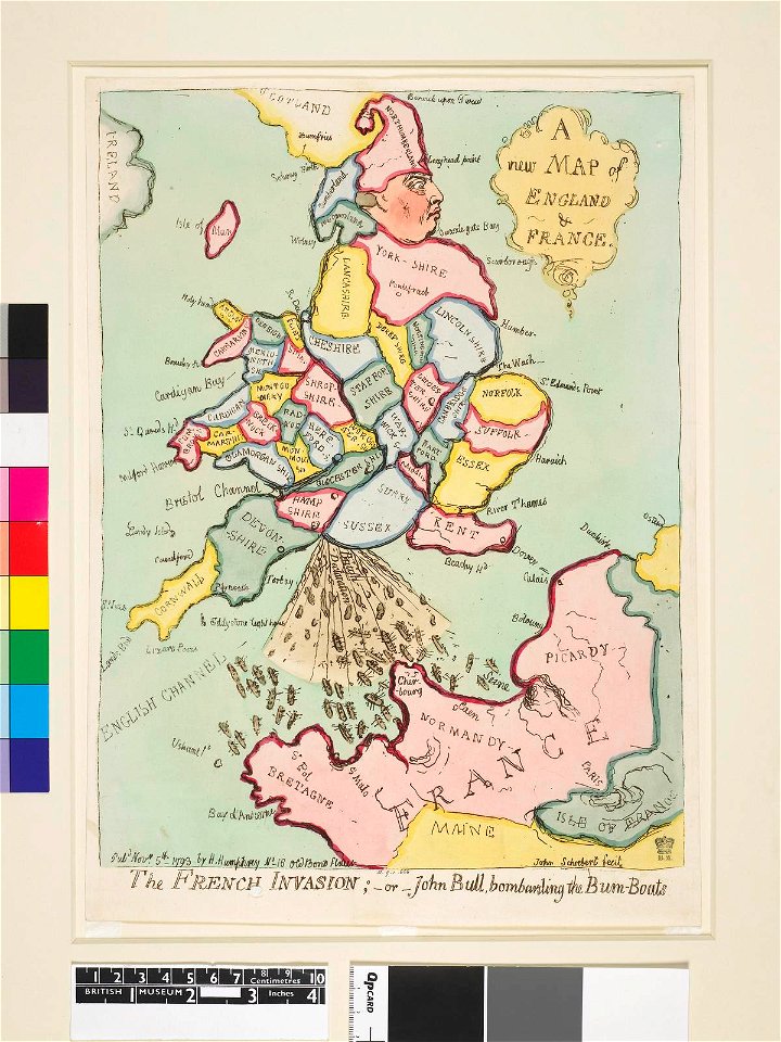
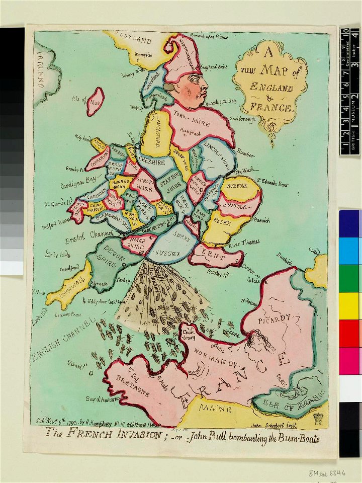
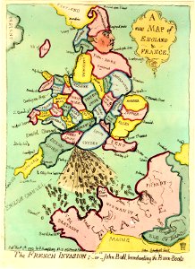
prints by james gillray in the british museum
satirical prints in the british museum
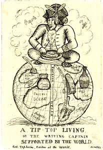
prints by james gillray in the british museum
satirical prints in the british museum
prints by james gillray in the british museum
satirical prints in the british museum
prints by james gillray in the british museum
satirical prints in the british museum
book
sea
caerte vande zee custen van gallissien, van ortugal tot voer bij c. de finisterre, in zyn wesen ende gedaente comende zeijlen uuth de spaensche zee - lucas io(ann)es aurigarius inventor ; ioannes à... - btv1b53194473d
bibliothèque nationale de france
die zee caerte van portugal; tusschen camino en montego, alsoe dat landt all daer in sijn ghedaente is, met alle sijne haeven enn ondiepten, met groeter naersticheijt en vliedt ghecorrigeert - btv1b531945351
bibliothèque nationale de france
die zee caerte van portugal; tusschen camino en montego, alsoe dat landt all daer in sijn ghedaente is, met alle sijne haeven enn ondiepten, met groeter naersticheijt en vliedt ghecorrigeert - btv1b531945351
bibliothèque nationale de france
beschrijvinge der zee custen van gallissien beginnende van capo de finisterre tot camino, gemaeckt naet wesen ende gedaente - lucas io(ann)es aurigarius inventor - btv1b53194534k
bibliothèque nationale de france
caerte vande zee custen van gallissien, van ortugal tot voer bij c. de finisterre, in zyn wesen ende gedaente comende zeijlen uuth de spaensche zee - lucas io(ann)es aurigarius inventor ; ioannes à... - btv1b53194473d
bibliothèque nationale de france
caerte vande zee custen van gallissien, van ortugal tot voer bij c. de finisterre, in zyn wesen ende gedaente comende zeijlen uuth de spaensche zee - lucas io(ann)es aurigarius inventor ; ioannes à... - btv1b53194473d
bibliothèque nationale de france
beschrijvinge der zee custen van gallissien beginnende van capo de finisterre tot camino, gemaeckt naet wesen ende gedaente - lucas io(ann)es aurigarius inventor - btv1b53194534k
bibliothèque nationale de france
context files from gallica
french text
context files from gallica
french text
cartouches by guillaume delisle
philippe buache
carte de l'isle de ceylan by guillaume delisle (1722)
philippe buache
maps of paris from the david rumsey historical map collection
maps of paris by braun & hogenberg
prints by william dent in the british museum
satirical prints in the british museum
sailing ships of indonesia
ships on maps
les forces de l'europe, asie, afrique et amerique, ou description des principales villes, avec leurs fortifications
maps in the rijksmuseum amsterdam
birds-eye view of seattle, 1884
ships in puget sound
jan huygen van linschoten
1596
hms chanticleer (ship, 1808)
john heaviside clark
satirical prints in the british museum
works after thomas stothard
prints by william dent in the british museum
satirical prints in the british museum
les forces de l'europe, asie, afrique et amerique, ou description des principales villes, avec leurs fortifications
14th-century maps of indonesia
jong (ship)
john wolfe (printer)
renold elstracke
ocean
maps
adventure
maps
ocean
maps
201 - 299 of 299
/ 3


!["Descriptio Vorticis Noruegiae et Bodniae eorumq[ue] mirab…](https://cdn.creazilla.com/illustrations/5593800/descriptio-vorticis-noruegiae-et-bodniae-eorumq-ue-mirab-illustration-sm.jpeg)